Home / Hurricane Tracking
Eastern Pacific Hurricane Tracking 2023
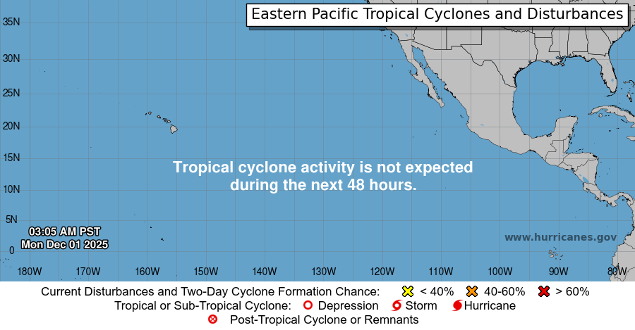
Eastern Pacific Outlook


ZCZC MIATWOEP ALL
TTAA00 KNHC DDHHMM
Tropical Weather Outlook
NWS National Hurricane Center Miami FL
500 PM PDT Fri Jul 26 2024
For the eastern North Pacific...east of 140 degrees west longitude:
Active Systems:
The National Hurricane Center has issued the last advisory on
Post-Tropical Cyclone Bud, located well west-southwest of the
southern tip of the Baja California Peninsula.
1. South of Southern Mexico:
An area of low pressure could form by the middle of next week a few
hundred miles south of the coast of southern Mexico. Environmental
conditions appear conducive for some gradual development thereafter
while the system moves west-northwestward at 10 to 15 mph, roughly
parallel to the coast of southwestern Mexico.
* Formation chance through 48 hours...low...near 0 percent.
* Formation chance through 7 days...low...30 percent.
Forecaster Reinhart
Updated: Fri, 26 Jul 2024 23:14:20 GMT
1Post-Tropical Cyclone Bud Graphics

5-Day Uncertainty Track last updated Fri, 26 Jul 2024 20:38:04 GMT

Wind Speed Probabilities last updated Fri, 26 Jul 2024 21:22:40 GMT
NWS Local Statements
No NHC active statments at this time
NWS Public Advisories
Post-Tropical Cyclone Bud Public Advisory Number 10
...BUD BECOMES A POST-TROPICAL REMNANT LOW...
...THIS IS THE LAST NHC ADVISORY...
Location: 19.2°N 120.5°W
Max sustained: 35 mph
Moving: W at 10 mph
Min pressure: 1008 mb
Issued at 200 PM PDT Fri Jul 26 2024
Location: 19.2°N 120.5°W
Max sustained: 35 mph
Moving: W at 10 mph
Min pressure: 1008 mb
Issued at 200 PM PDT Fri Jul 26 2024